Could anyone help me please?
How can I get the closest distance between various latitude and longitude?
I’d build it using the Distance Matrix API: https://developers.google.com/maps/documentation/distance-matrix/overview
Also you can check this: http://community.thunkable.com/t/distance-matrix/1340/35
Good luck!
Great question! I was just Googling this last night and there are definite methods (I’m going to check the example above) but I realized for me… I need to loop through a long list of objects (JSON) to see which is closest to a specific latitude/longitude pair and well, I think my object list would be too long to store in Thunkable. Hmm, maybe I could store it in an Airtable or Google Sheet.
Anyway, interested to see what you can figure out!
Thanks for the reply. I’ll see what i can do.
I’m working on the tutorial for this!!!
[UPDATE]
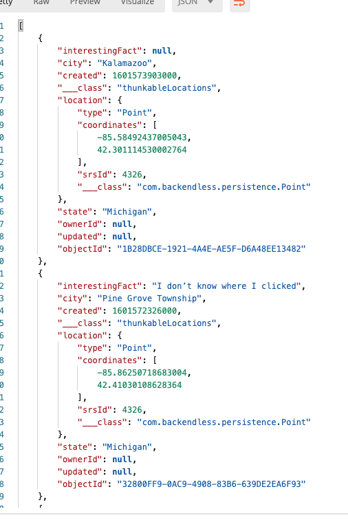
you’re looking to get a response like this back, right?
i create the milesToPoint property everytime the database is called using the URL scheme above.
i include only milesToPoint,state,city,objectId. everything done very quickly by the DB server. The search was conducted using arbitrary coordinates near my home!

without any fancy querying the response looks like this.
I’m using the formula posted here: Calculate distance travelled.
I cycle through a list of lat/lon pairs to see which is closest and it works great. No API needed.
![]() .
.
Makes sense! I am creating a photo sharing app and wanted users to see/search for photos taken near them. The DB is always going to grow so I need the api. For a fixed data set, I’d take your rout too!
My backend does the heavy lifting way faster than any phone will (for now) Whatever works though! Each use case is unique!!